


- This event has passed.
Large-scale Geospatial Data Analysis and Visualization in R
TAMIDS Data Science Ambassador Workshop Series
Large-scale Geospatial Data Analysis and Visualization in R
October 25, 2023 @ 10:15 am – 12:45 pm
In-person Location: BLOC 220
Zoom Link: https://tamu.zoom.us/j/94200148283?pwd=aCs5SjdZbFAzb2xnekpFQ1VmNmFWdz
Meeting ID: 942 0014 8283
Passcode: 986864
Fill out the form to register: https://docs.google.com/forms/d/e/1FAIpQLSebLgZgfUMEyM54LdPA0Wue0-7eO688Hocs7rpB5h5LEup4bw/viewform
Summary: Analysis of large-scale geospatial data (regional to global scale at high spatial and temporal resolution) can be computationally expensive and time-consuming, especially when working with multiple formats and sources of data. R provides a powerful computational alternative to popular Geographic Information System (GIS) software to organize, analyze and visualize geospatial data. R enjoys a vast collection of open-source libraries for GIS-type operations and proven statistical analysis and data visualization capabilities. Taking examples from global satellite data in gridded/raster format, we will demonstrate several geospatial operations like projections, resampling, spatial extraction, cropping, masking, etc. using rasters, shapefiles, and spatial data frames. For a seamless analysis across different data types and platforms, conversion to/from different data formats like data frames, matrices, rasters, and structured data like NetCDF will be discussed. Advanced topics will include working with data cubes (terra spatrasters), layer-wise operations on data cubes, cell-wise operations on raster time series by implementing user-defined functions with stackApply. Multicore parallel application (parApply and clusterR family) of user-defined functions in R will be demonstrated for large-scale dataset.
- Instruction type: Hands-on
- Course level: Intermediate
- Course requirements: Computer with installed and working R and RStudio (a.k.a. Posit). Working experience in R is required.
- Format: Hybrid (In-person + Online)
Learning Objectives
- Plotting and visualizing geospacial data
- Efficient GIS and statistical operations on large geospatial datasets
- Application of custom functions for large-scale gridded/spatial analysis
- Parallelization of geospatial operations in R
Hosts
- Debasish Mishra, Data Science Ambassador, TAMIDS, debmishra@tamu.edu
- Leah Kocian, PhD Student, BAEN, leahkay4@tamu.edu
Instructors

Debasish Mishra is a Ph.D. student at the Biological and Agricultural Engineering Department at Texas A&M University. Debashish studies the coupling of global scale water and energy cycles, and inferring predictive skills for flash floods and droughts. His research interests include hydro-climatology, soil science, remote sensing, data fusion, and Machine Learning.

Leah Kocian is a Ph.D. student at the Biological and Agricultural Engineering Department at Texas A&M University. Her research is centered on the investigation of contaminant fate and transport within urban garden root zones, with a specific focus on its potential implications for human health. Her methodology encompasses a suite of experimental techniques. She supplements these methods with advanced modeling and machine learning approaches by utilizing existing functions and developing new ones in R.
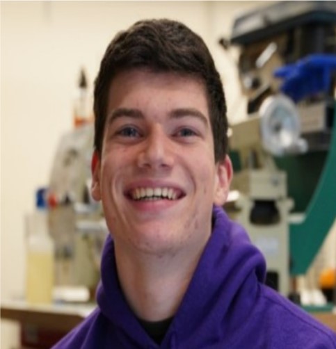
Aidan Brown is a 4th year undergraduate at Texas A&M University majoring in Geographic Information Science and Technology. He has research experience in geospatial analysis, remote sensing, and statistical modeling. He is interested in large-scale data analysis, geospatial image processing, and environmental modeling.
TAMIDS Data Science Ambassador Scholarship Program

The Data Science Ambassador Scholarship Program is supported in part by external sponsorship. We gratefully acknowledge support from TAMIDS Industry Affiliates Chevron and ConocoPhillips for this and other student education, research, and engagement programs.
